Home >> Local Information & Facilities
Local Information & Facilities
Langsett Barn – Reservoir, Barn, car park, picnic site, walks.
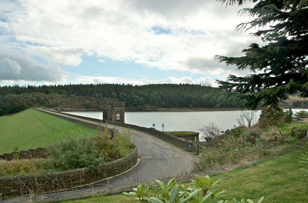 |
| The Dam at Langsett Reservoir |
Langsett Barn area is owned and managed by Yorkshire Water and the Peak District National Park Authority. (PDNPA).
Langsett Barn Car park and picnic site is set in beautiful woodland at the edge of Langsett Reservoir. It is located on the A616 near the centre of Langsett on the boundary of the Peak District National Park.
There is a good sized tarmac car park, with a number of spaces reserved for disabled people close to the building.
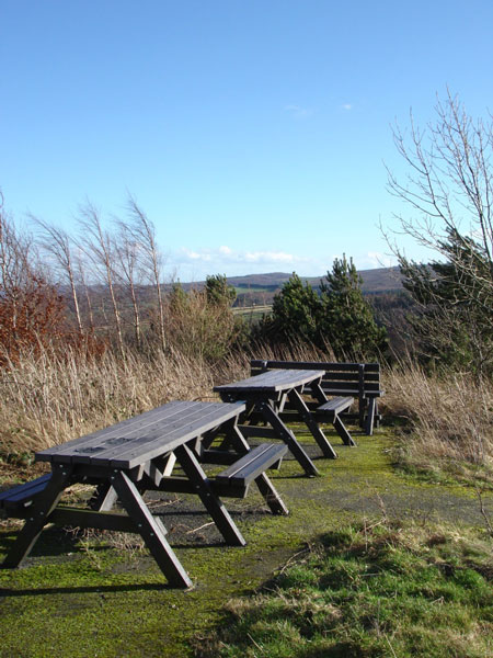
The picnic site with tables is set in a grassed area adjacent to the car park.
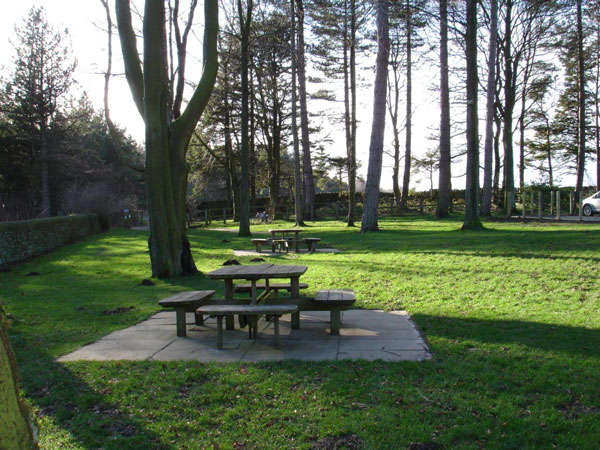 |
| Picnic area at Langsett Barn |
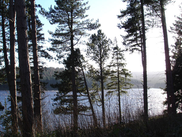 |
| Views over reservoir from the picnic site |
Back to top
Langsett Barn is also adjacent to the car park and is available to hire for functions. (Via the PDNPA). There are toilets available on the far side of the barn building, and a toilet suitable for disabled people is provided in both the gents and the ladies. The toilets are open from dawn until dusk.
There is an information panel with map in the car park.
Walks and cycling around Langsett Reservoir are easily accessible from the car park. The Yorkshire Water website gives details of walks and cycle routes in the Langsett area.
Useful links:
www.yorkshirewater.com/walks-and-leisure/recreation-locations/langsett
www.peakdistrict.gov.uk/looking-after/rangers/langsettbarn
The link below is a Langsett Reservoir Walk published by Barnsley Metropolitan Borough Council.
Langsett Reservoir Walk leaflet
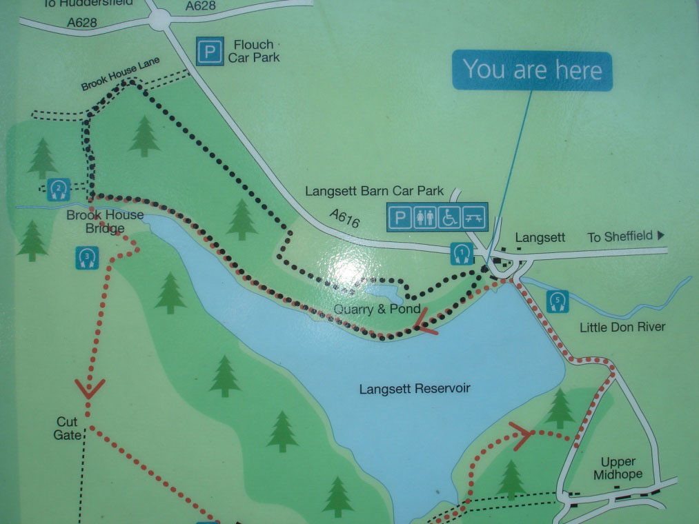 |
| Information panel at Langsett Barn |
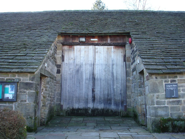 |
| Langsett Barn |
Back to top
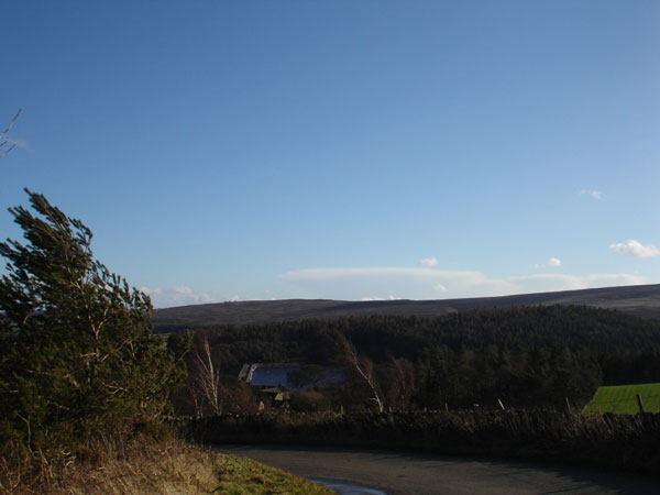
Flouch Car Park – A616
This car park on the A616 is about half a mile north-west of the Langsett Barn car park, and enables easy access to walking at the other end of Langsett Reservoir.
Crossing the A616 from this car park and following the footpath takes you to the pretty Brook House Bridge over the Little Don River downstream of Langsett Reservoir. This is a lovely area for walking and for children to paddle in the river.
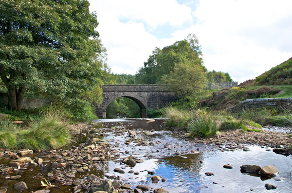 |
| Bridge over Little Don River |
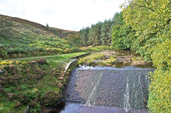 |
| Downstream of Langsett Reservoir |
Back to top
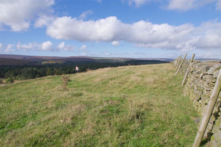
Gilbert Hill Picnic Site – view point, picnic site
 |
| Gilbert Hill Picnic site |
 |
| View from Gilbert Hill |
Back to top
In the wake of the Tour de France in 2014, which came through Langsett, there has been an increase in the number of cyclists visiting the Parish. Although not part of the route taken, a challenge for cyclists is the Gilbert Hill Climb, starting from the Bank View Café, Langsett, a distance of 0.4 km with an average grade of 10%.
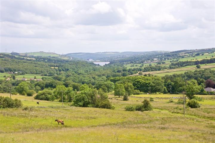
Half way up is a notorious double bend, known locally as the Devil’s Elbow. Here, for those in need of a rest (both cyclists and walkers – there is even some car parking!), there is a picnic site from where the wonderful views over Langsett and down the valley towards Stocksbridge and beyond make stopping worthwhile. From here, Underbank Reservoir provides a focal point, with Wharncliffe Crags in the far distance.
On the opposite side of the road from the picnic site, situated on Brown’s Edge, is Castle Dike [SE 20630081], where there are slight earthwork remains of what has been described as an Iron Age univallate hillfort (a hilltop enclosure bounded by a single rampart, usually accompanied by a ditch). Covering an area of 0.40ha. and in a commanding position, a geological survey describes it as:
“A hill fort, consisting of a single bank and ditch, with diameters of 100 yds. [N-S] and 60 yds. [E-W] on the flat top of Gilbert Hill. A depression runs across it and there are possible traces of more than one mound on the south-east … [It is a] single ditched enclosure now largely obliterated by cultivation. No trace of further defensive works, or of an entrance, are apparent now … Surface quarrying has occurred in the southern section of the interior but no 'mounds' are visible … The magnetometer survey revealed the double bank and ditch form of the enclosure and a possible hut site. No entrances [have been] traced.”
http://www.pastscape.org.uk/hob.aspx?hob_id=51075
Unfortunately, as the accompanying picture below shows, there is little now to be seen of the remains, apart from a shallow depression in the field showing where the boundary ditch was situated.
 Iron Age Hill Fort location
 Walking around Langsett
In addition to the information above, there are several websites that give detailed walking guides for the Langsett Reservoir and Moors.
Stocksbridge-walkers site has several walks that start at or include Langsett, including one which follows the Tour De France circuit in the area.
http://www.stocksbridge-walkers.org.uk/http://www.walkinginengland.co.uk/yorkshire
http://www.bradfield-walkers.org.uk/Walks/Langsett.html
http://www.yorkshirewalks.org/
Eating establishments in Langsett
Perfectly located to cater for Walkers/Cyclists are the Bank View Cafe and the Waggon & horses Public House on the A616, both within 200 meters of Langsett Barn car park.
A little further afield in the Parish (1 mile from the Reservoir on the A628) you will also find the Dog & Partridge Inn & Hotel.
(See the
local businesses page of this website for more information.)
http://www.bankviewcafe.co.uk/
http://www.langsettinn.com/
http://www.dogandpartridgeinn.co.uk/
Back to top